Geographical Information Systems (GIS) knowledge is a powerful decision support tool that provides for collection and analysis of data. Wetlands International through a project supported by USAID/SERVIR is utilising GIS coupled with hydrology modelling and environmental hazard and risk assessments to aid the application of geo-data in water resources management for the sustainability of ecosystems and improving livelihoods in Kajiado County.
Application of geodata is relevant at the catchment level to support evidence-based decision making in the formulation of sustainable water policies and catchment management plans. However, in Kajiado County, there exists a capacity gap in the use and application of geodata. This calls for a need to strengthen the capacity of local governments, private sector and local civil society to; visualise and analyse geo-data, and integrate the findings into Water Resource Management (WRM) and Water for Sanitation and Hygiene (WASH) providing for collaborative water-related threats and risks problem-solving.

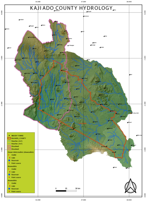
Kajiado County hydrology
To address this gap, Wetlands International facilitated a week-long intensive capacity building workshop that brought together ten (10) participants drawn from CSOs and officials from the Kajiado County to strengthen their capacity on how to integrate geospatial data into management and planning for water resources.
The training which took place between 21 and 29 August was designed to equip participants with the skills that would, later on, facilitate for simulation of catchment modelling and planning to inform decision making for sustainable livelihoods and ecosystem resilience.

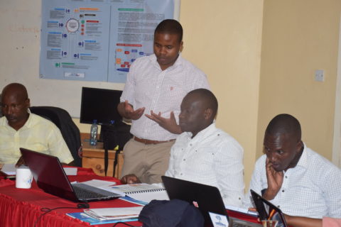
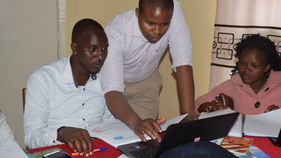
Participants from the training
“The training was timely given the fact that we are yet to start undertaking water resources mapping for the county. This will support sustainable planning and decision making in the water sector. We also look forward to sharing this knowledge with our colleagues in other departments to support a simplified presentation of data.” Peter Pushati
The training was supported by Watershed-empowering citizens programme, United States Agency for International Development (USAID), SERVIR* and the Regional Centre of Mapping Resource for Development (RCMRD). This project presents an opportunity for enhanced knowledge sharing between partners in terms of the Geographic data and presentation tool. It is envisaged that this information will provide CSOs and the County government with information to monitor water resource use and development within the County, providing for better decision-making.
*SERVIR is a joint initiative of the National Aeronautics and Space Administration (NASA) and USAID that works in partnership with leading regional organisations worldwide to help developing countries use the information provided by Earth-observing satellites and geospatial technologies for managing climate risks and land use.

