Wetlands international together with other stakeholders held a one-day workshop in Kajiado, Kenya on 16 May 2019 to kick off activities under the project “Application of geo-data in water resources management in Kajiado County”. Supported by the United States Agency for International Development (USAID), SERVIR* and the Regional Centre of Mapping Resource for Development (RCMRD)’, the nine-month proof of concept project will focus efforts on addressing water resource data gaps, including making it accessible and usable in different formats.
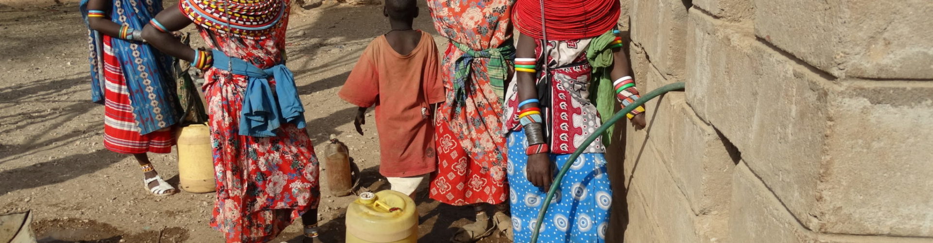
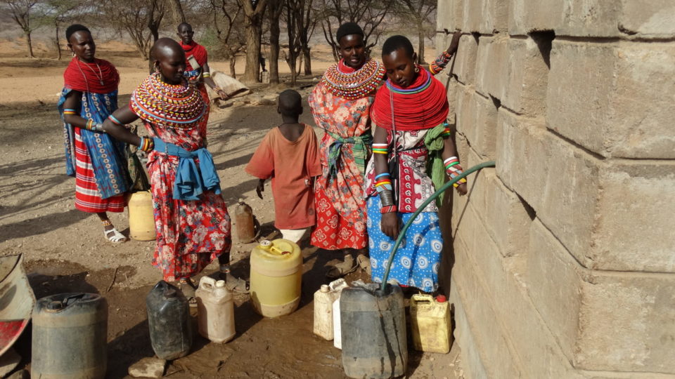
The workshop brought together twenty-six (26) representatives from Kajiado county government, as well as participants from Civil Society Organisations (CSOs) such as Centre for Strategic Planning and Administrative Development (CESPAD), Neighbours Initiative Alliance (NIA) and other stakeholders such as Water Resource User Associations (WRUAs) from across the county. Discussions centred around capacities and priorities in relation to project activities. Participants also discussed potential solutions to various water resource management issues to be achieved through the use of data for evidence in influencing sector decision-making.
This project was conceptualised together with Water Resources Authority and County Government of Kajiado and presents an opportunity for enhanced knowledge sharing between partners in terms of the mapped data and presentation tool. It is envisaged that this information will provide CSOs and the County government with information to monitor water resource use and development within the County, providing for better decision-making.
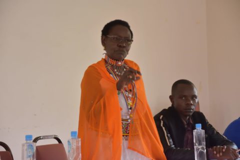
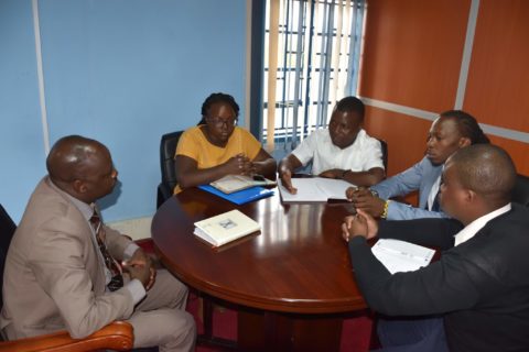
The delegation later held a consultative engagement meeting with the County Executive Committee Member on Water, Irrigation, Environment and Natural Resources in Kajiado County – Hon. Sabore Semera to introduce the work of the organisation, provide progress updates and lobby for support in joint programme implementation.
One of the areas where Hon. Semera pledged support was in mobilising county technical officers to assist Wetlands International in conducting environmental hazard and risk assessments and their impact on Kajiado water resources
The role and importance of county mobilisation are critical for social and institutional sustainability of the data for evidence approach, by empowering county officials to identify and address WRM, water security and WASH issues within the county, and indeed the Athi Basin.
SERVIR is a joint initiative of the National Aeronautics and Space Administration (NASA) and USAID that works in partnership with leading regional organisations worldwide to help developing countries use the information provided by Earth-observing satellites and geospatial technologies for managing climate risks and land use.